Buckfastleigh Moor, Scorriton, Dartmoor National Park
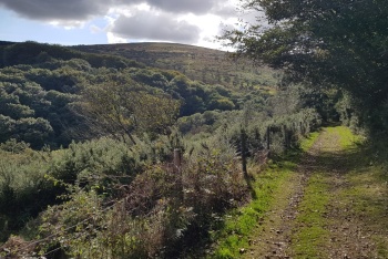
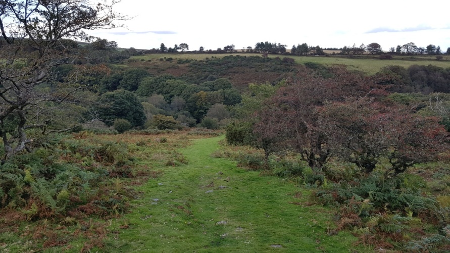
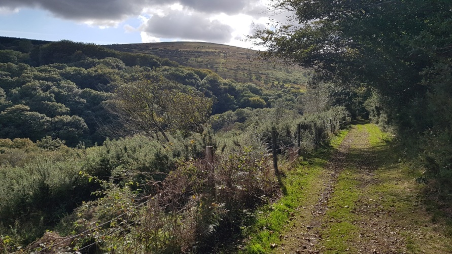
[Main photo: walking the Two Moors Way from Holne and Scorriton to Buckfastleigh Moor]
Buckfastleigh Moor, the highest point on Dartmoor’s south moor and the Two Moors Way
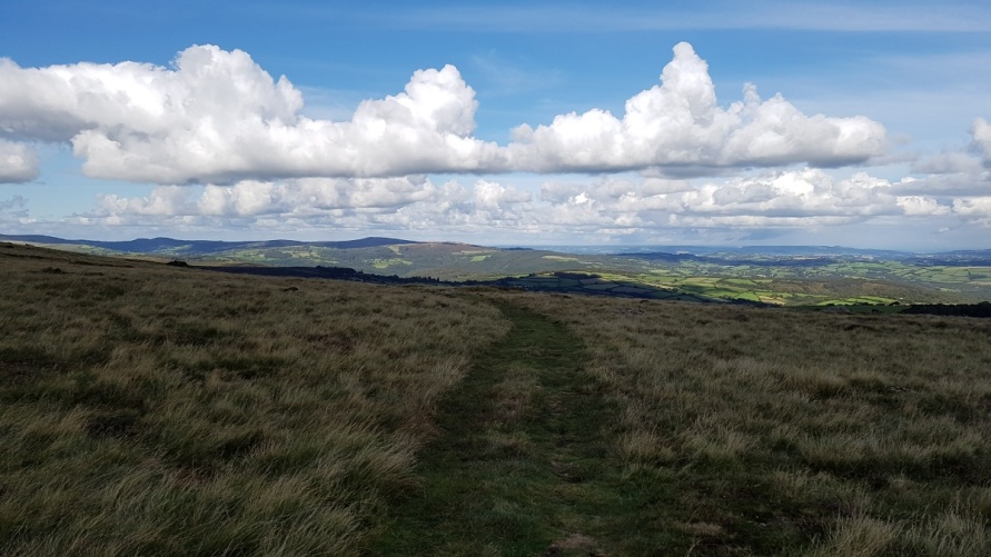
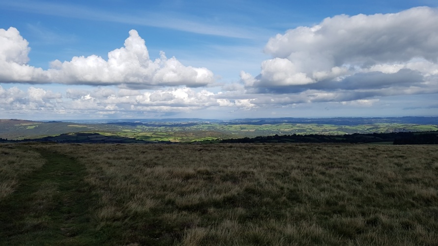
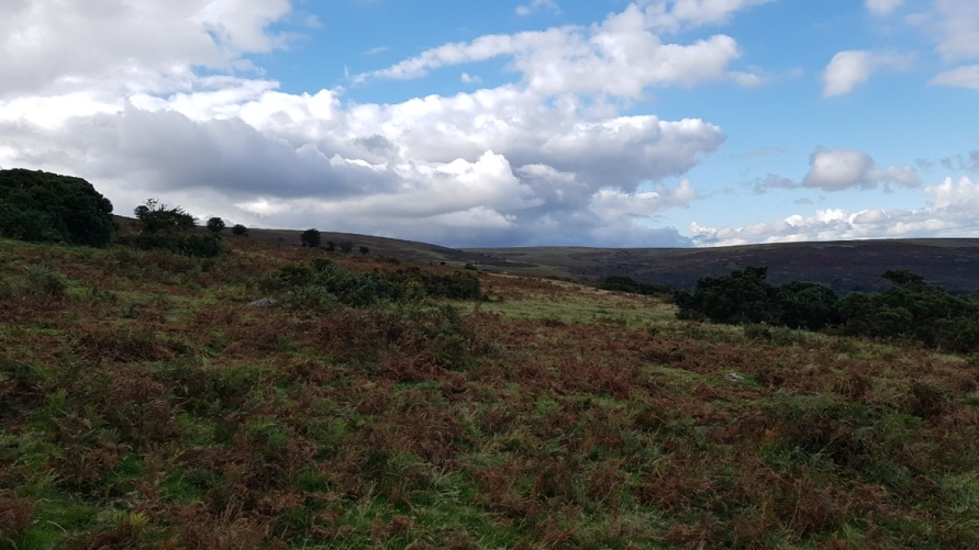
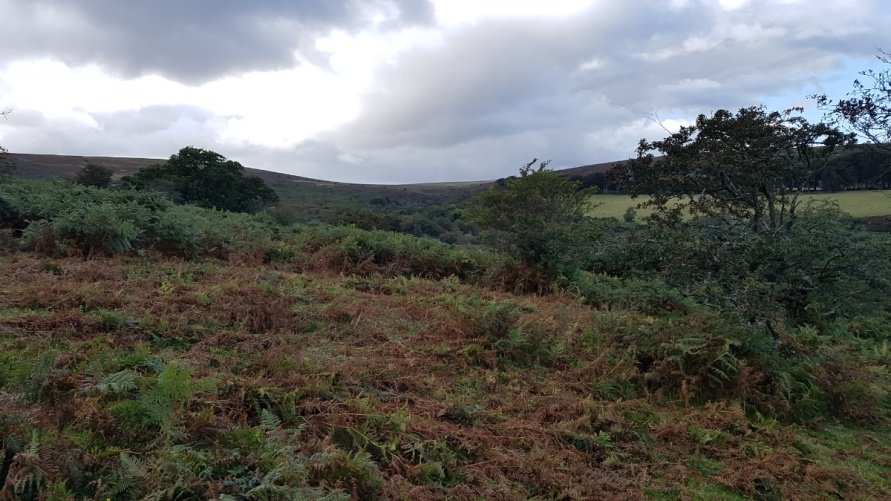
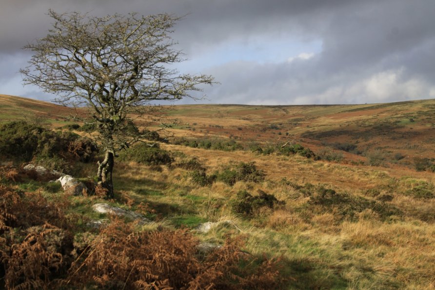
Ryder’s Hill is the highest point on Dartmoor’s south moor. Buckfastleigh Moor runs from this high ground in the direction of Buckfastleigh town after which it’s named. Buckfastleigh Moor is open access moorland providing amazing views of the heavily wooded eastern section of Dartmoor National Park and South Devon beyond. The popular Two Moors Way cuts across the moor. The Abbot’s Way is to the south east where it meets Dean Moor.
We provide information on what’s there. Browse Dartmoor National Park Authority’s website for expert and balanced information about the flora and fauna on the moor.
Location of Buckfastleigh Moor
Dartmoor National Park’s high moor is split into two. There’s a north moor and a south moor. Buckfastleigh Moor is located on Dartmoor’s south moor. Roughly speaking, it runs from Ryder’s Hill (the highest point on the south moor) down to Chalk Ford and Lud Gate. The River Mardle separates it from Holne Moor to the north. Ryder’s Hill, Snowdon and Pupers HIll top a broad, blanket bog ridge separating it from Dean Moor to the south.
We’ve positioned Buckfastleigh Moor on Google maps. Zoom in on the ‘Satellite’ setting to see its location.
It’s clearly marked on Ordnance Survey mapping as well. Look for Ryder’s Hill and you’ll see Buckfastleigh Moor to the south east.
Directions to, and parking at, Buckfastleigh Moor
Given that Buckfastleigh Moor is open access moorland and part of Dartmoor’s much larger south moor, you can approach from all directions. There are many car parking areas in the local area but all involve a yomp to the moor. See the more detailed descriptions below for more information.
Buckfastleigh Moor
There are plenty of attractions and points of interest on Buckfastleigh Moor. These include:
Ryder’s Hill. The highest point on Dartmoor’s south moor, Ryder’s Hill tops a broad, blanket bog ridge that runs to Snowdon and Pupers Hill. From the high ground of Ryder’s Hill, you enjoy 360 degree views of the national park including the internationally important blanket bog that covers the south moor. The conical ‘volcano’ tip at Red Lake China Clay Works is to the south west. Aune/Avon Head Mires are to the north west.
Snowdon and Pupers Hill. Easily accessible high points south east of Ryder’s Hill with prehistoric cairns and great views over Buckfastleigh Moor.
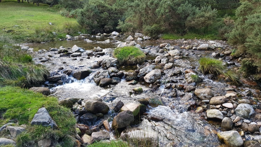
River Mardle. Rises at Mardle Head close to Ryder’s Hill. Flows down to Chalk Ford and then through woodland to Buckfastleigh where it joins the River Dart on its way to Totnes and Dartmouth.
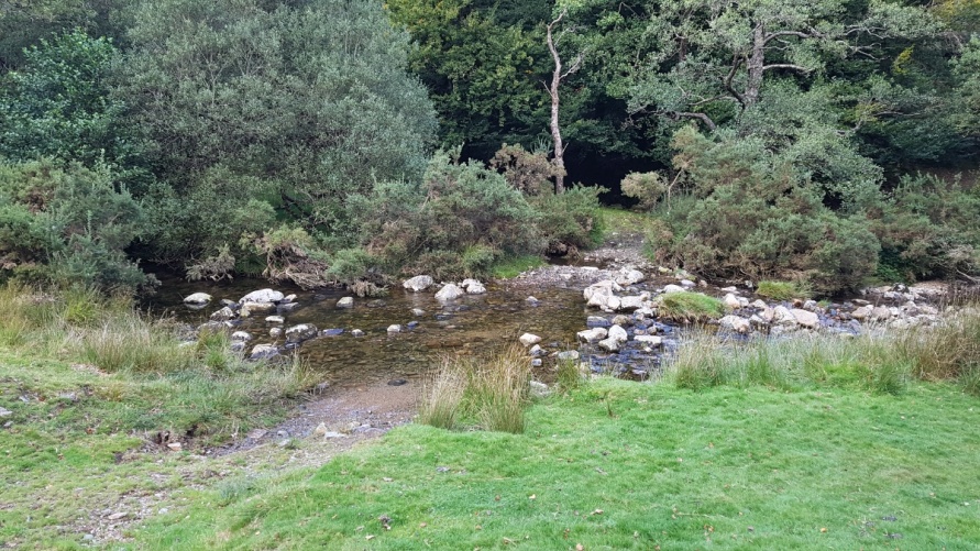
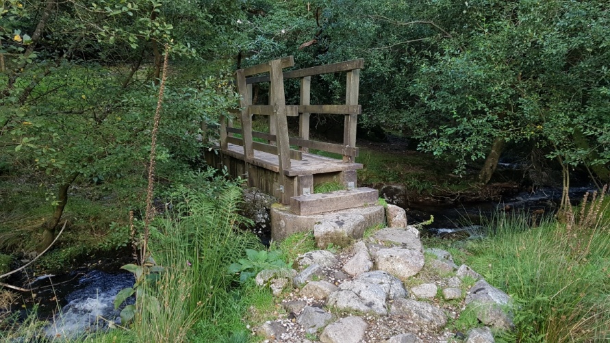
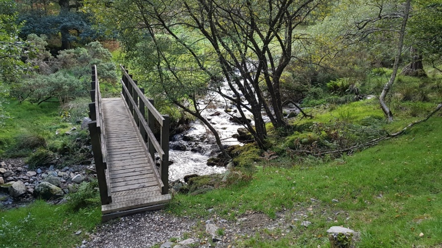
Chalk Ford. Bridge and ford offering access to the high moor. The Two Moors Way passes through Chalk Ford.
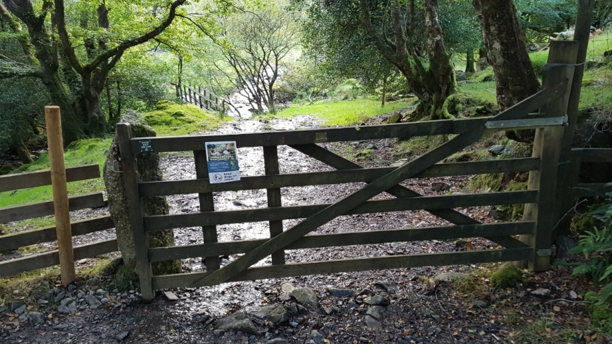
Lud Gate. Gateway to the high moor. Moorland lanes and footpaths run from Scorriton and Combe to Lud Gate and the high moor.
Two Moors Way. Famous long distance walking route that crosses Buckfastleigh Moor.
Abbot’s Way. Long distance walking route on Dartmoor running between Buckfast Abbey and the ruins of Tavistock Abbey. Where Buckfastleigh Moor meets Dean Moor.
Recommended route to Buckfastleigh Moor for the first time
Buckfastleigh Moor is a relatively large area of moor so it can be approached from all directions. Like the vast majority of Dartmoor’s high moor, it’s also open access so you’re free to roam around. That said, the moor can get very boggy underfoot so we’d recommend following the Two Moors Way to Buckfastleigh Moor if you’re visiting for the first time.
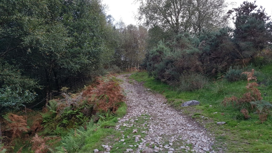
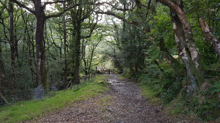
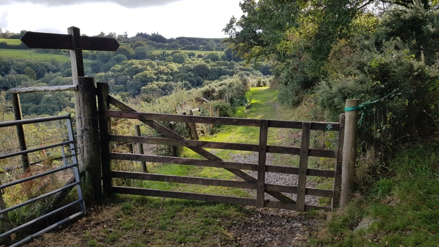
Start at the car park in Holne. Walk the Two Moors Way as marked on Ordnance Survey mapping. You’ll come to Chalk Ford. Buckfastleigh Moor opens out in front of you. It’s easy walking on tracks with a short stretch of moorland road.
Other routes and directions to Buckfastleigh Moor
As mentioned, because Dartmoor’s south moor is all open access, you can approach Buckfastleigh Moor from all directions.
Routes and directions to Buckfastleigh Moor from the north
This is arguably the most convenient route to the high ground of Buckfastleigh Moor. There are car parks on either side of Venford Reservoir and a reasonably large car park by Combestone Tor.
We’d recommend walking from the car park by Combestone Tor and wandering up to Holne Ridge and then Ryder’s Hill. The moor here can get very boggy but it’s not particularly demanding walking. Go after a period of sunny weather if you don’t like walking on boggy ground. The views back over central Dartmoor to its north moor are magnificent.
Routes and directions to Buckfastleigh Moor from the south
It’s a nice walk from the car park at Shipley Bridge. Follow the tarmac road to the dam at Avon Dam Reservoir. Continue on the east side of the reservoir and you’ll come to Dean Moor. Continue up to Buckfastleigh Moor avoiding Brockhill Mire as marked on Ordnance Survey mapping. We tend to follow the Abbot’s Way to where it connects with the Two Moors Way and then yomp up from there. Refer to Ordnance Survey mapping for detail.
Routes and directions to Buckfastleigh Moor from the east
In addition to walking in via Chalk Ford on the Two Moors Way, you can access Buckfastleigh Moor via Lud Gate or Water Oak Corner.
Routes and directions to Buckfastleigh Moor from the west
If you’re approaching Buckfastleigh Moor from the west, this will most likely be as part of a much longer hike as Dartmoor’s south moor extends west of Buckfastleigh Moor. It’s big and remote. The moor is all open access.
The obvious route is on the Two Moors Way from the west. It’s easy walking. Dependent on how fit you are, distances might be an issue. You can follow the Two Moors Way up from Ivybridge or connect to it having walked the Abbot’s Way across the south moor.
You can access Buckfastleigh Moor from the west if you walk north of Aune/Avon Head and Aune/Avon Head Mires. Only do this if you’re an experienced Dartmoor walker as it’s remote. Avoid the mires. We wouldn’t recommend trying to cross the River Aune/Avon as it’s very boggy on the high ground.
The views from Buckfastleigh Moor
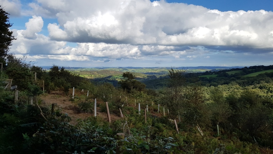
Eastern side of Dartmoor National Park. There are great views along the east side of the national park and down to Buckfast Abbey.
South Devon. You’ll then see the South Devon countryside and the sea. The English Riviera is to the east of Buckfastleigh.
Dartmoor’s south moor. If you yomp up to Ryder’s Hill, Dartmoor’s south moor opens up in front of you. It’s internationally important blanket bog so expect rolling moorland. No trees on deep peat and in the many mires up there.
Avon Dam Reservoir. The reservoir is to the south of Buckfastleigh Moor. Beautiful place.
The area around Buckfastleigh Moor
Buckfastleigh Moor is part of a much larger and more varied landscape. If you’re exploring the area, visit:
Venford Reservoir. Reservoir to the north of Buckfastleigh Moor.
Bench Tor. Wander from the reservoir to Bench Tor that overlooks the heavily wooded Dart Gorge. It’s one of the best places in the national park.
Dart Gorge. Dartmoor’s high moor is fringed with a high number of heavily wooded valleys. Some, like the Dart Gorge to Hembury Woods and Teign Gorge to Fingle Woods, are substantial and take a long time to explore. We’d recommend dropping down into White Wood from Bench Tor. Go all the way down to the River Dart as it’s an intoxicating place. You could spend a week’s holiday exploring the Dart Gorge area.
Avon Dam Reservoir. Beautiful reservoir and dam surrounded by moorland.
Dartmoor’s south moor. Internationally important blanket bog. The sphagnum moss is remarkable. ‘Rain, cool, quiet. Thousands of years. Big skies and tiny marvels’ as they say up in Flow Country at the top of Scotland.
Buckfastleigh. Town on the border of Dartmoor National Park. Take a trip on the South Devon Railway. Visit the Dartmoor Otter Sanctuary and Buckfast Butterfly Farm.
Buckfast. Visit Buckfast Abbey.
Ashburton. Major Dartmoor gateway town.
Places to eat and drink near Buckfastleigh Moor
Holne Church House Inn. Pub in Holne village.
Holne Community Shop. Shop and cafe just up the road from the pub.
Scorriton The Tradesmans Arms. Pub in Scorriton village.
Strawberry Fields farm shop and coffee shop at Buckfastleigh.
Buckfast Abbey is just up the road from Buckfastleigh and has a great cafe.
There are plenty of pubs and cafes in Ashburton.
Other areas of moorland in this section of Dartmoor National Park
The south moor and the Buckfast to Tavistock Monastic Route. If you enjoy moorland walking, we’d suggest you follow the Buckfast to Tavistock Monastic Route across the north section of Dartmoor’s south moor. Crosses mark the way. Superb experience. It’s remote so only try this if you’re an experienced walker.
Holne Moor. Moorland just north of Buckfastleigh Moor that’s easily accessible from the car parking area by Venford Reservoir.
Dean Moor. Moorland just south of Buckfastleigh Moor that’s easily accessible from the car park at Shipley Bridge.
Brent Moor. Moorland and the south side of Avon Dam Reservoir that runs into Ugborough Moor. There are a high number of prehistoric sites here.
Photo Gallery