Naker's Hill, Princetown, Dartmoor National Park

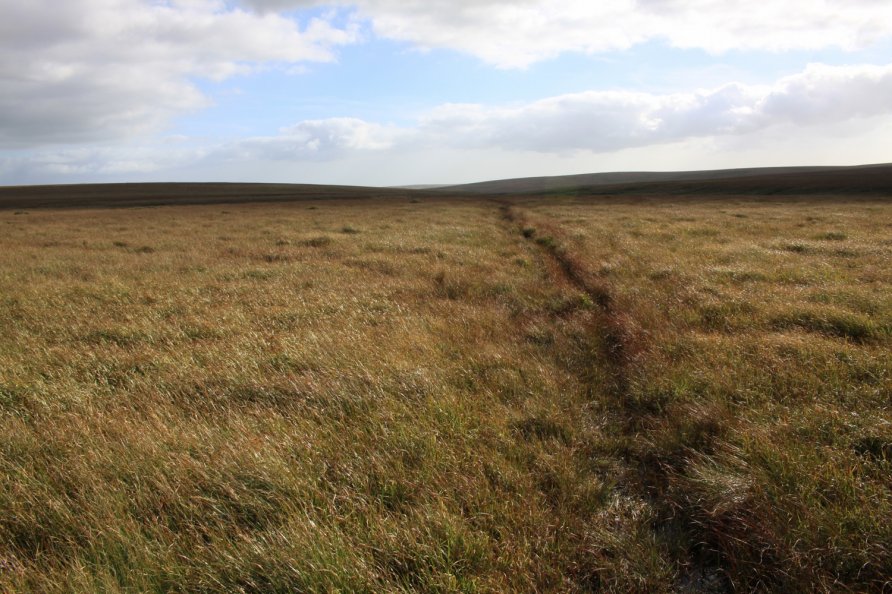
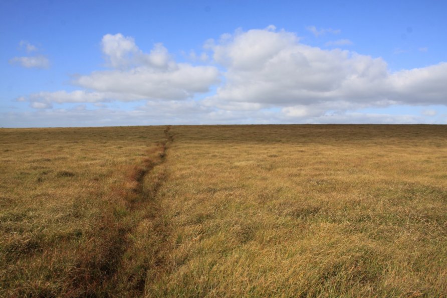
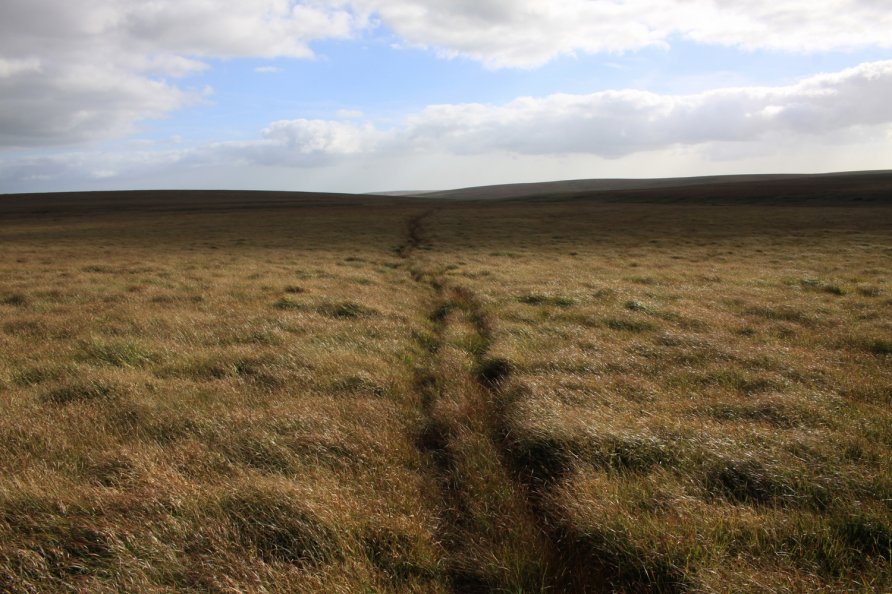
On the ground, Naker's Hill feels how it looks in the main photo of this listing. Remote, featureless and boggy. This makes walking across the Naker's Hill section of Dartmoor strangely intimidating. That said, the North-South (Track) Ancient Travel Route, Black Lane Peat Pass and the Sandy Way Path all cross or fringe Naker's Hill. If Dartmoor's in your blood, you're going to walk the hill at some point.
We've positioned Naker's Hill on Google maps so zoom in on the 'Satellite' setting to see its location. To walk it, follow the 'path' marked on both the Ordnance Survey Explorer OL28 'Dartmoor' map and the Harvey British Mountain Map 'Dartmoor' map. When you get to Naker's Hill, this 'path' is actually a series of boggy tracks that cross the hill. Keep well east of Blacklane Mire/Black Lane Mire.
Note that Naker's Hill is surrounded by mires. Aune Head Mires are to the north east, Fishlake Mire to the south and Blacklane Mire/Black Lane Mire to the west and south west. It's not particularly difficult walking the 'path' on Naker's Hill but given this context, as mentioned, it can feel intimidating.
Photo Gallery