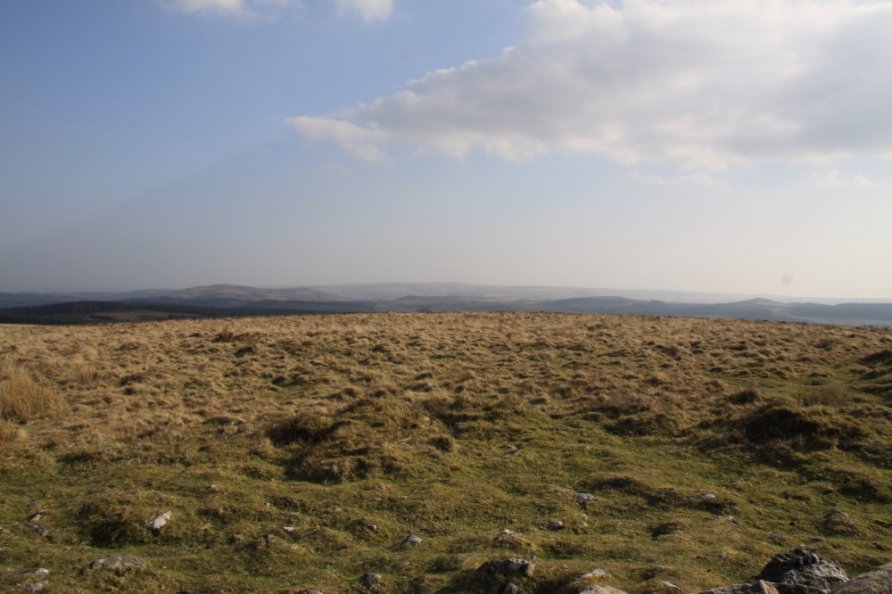
Water Hill, Postbridge, Dartmoor National Park

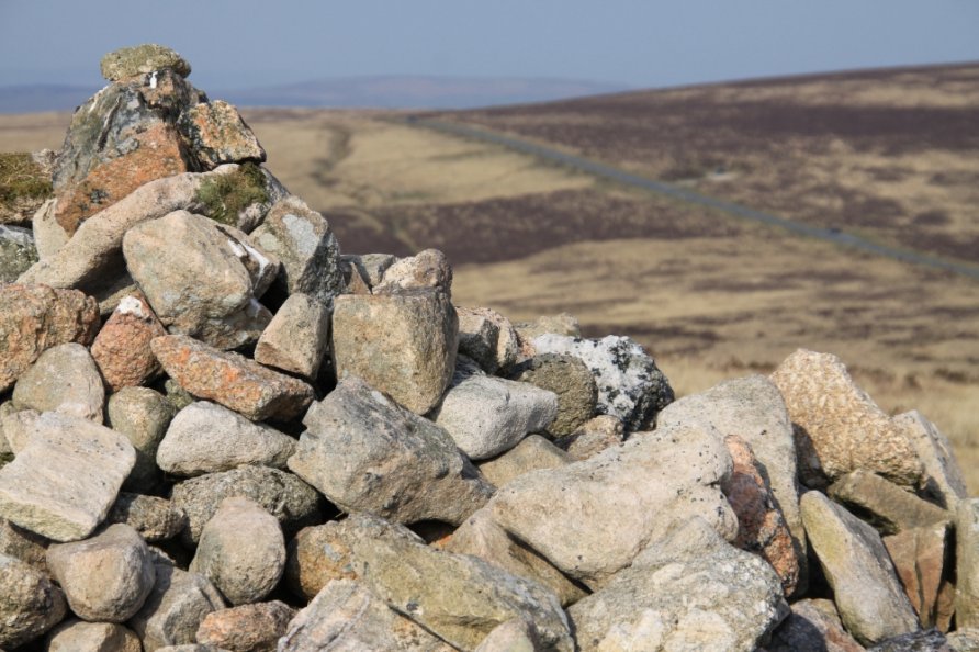
The B3212 is Dartmoor's main trans-moorland road. The Warren House Inn is located on this road looking out across spectacular moorland to Headland Warren, Birch Tor, English Heritage's Grimspound and Hamel Down. Given these beautiful views, most people walk in this direction. However, the pub sits below a steep bank of moorland which rises to a big cairn offering an even better viewpoint. This cairn tops Water Hill.
From the top, you'll see the landscape east of The Warren House Inn described above. The view north to west is dominated by Fernworthy Forest. Bellever Forest is to the south west. The rolling countryside around Chagford and Castle Drogo/the Teign Gorge is to the north east.
We've positioned Water Hill on Google maps so zoom in on the 'Satellite' setting to see its location. To visit, take one of the paths at the eastern end of The Warren House Inn that climb steeply to Water Hill 489 metres above sea level.
Alternatively, wander up from the car park at Fernworthy Forest by Fernworthy Reservoir. Either walk across Chagford Common to Hurston Ridge and its stone row or navigate your way through Fernworthy Forest to Assycombe Hill and then cross the moor to Water Hill. Refer to the Ordnance Survey Explorer OL28 'Dartmoor' map for detail.
Photo Gallery