Kneeset Nose, Okehampton, Dartmoor National Park
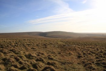
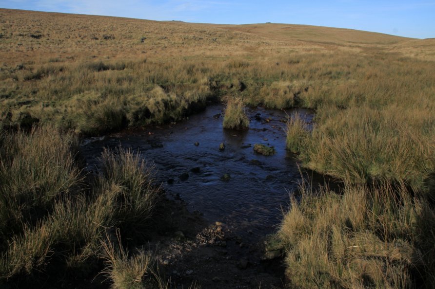
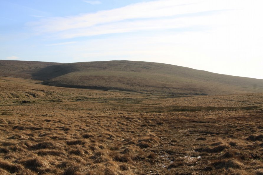
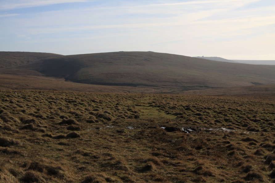
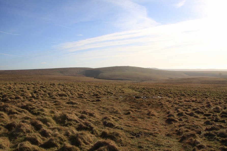
This is a spur of moorland that pushes out to the meet the West Okement River below Great Kneeset and its rocky outcrops. You can cross the water here where the West Okement River meets Brim Brook. You can also cross the West Okement River further west into the valley known locally as Broad Amicombe Hole. These crossing points and the grass paths that lead to them are clearly visible of Google’s satellite imagery. On the ground, however, the grass paths are a little more difficult to follow so make sure you take a compass and map when exploring the area.
We’ve positioned Kneeset Nose on Google maps so zoom in on the ‘Satellite’ setting to see its location.
To visit, walk the army ring road to Dinger Tor. Drop down to Kneeset Nose.
Photo Gallery