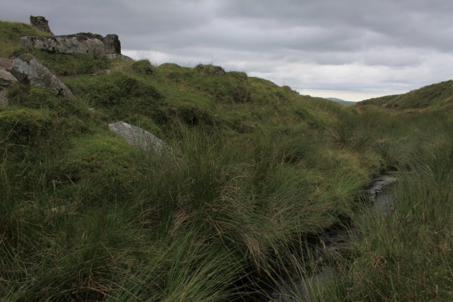
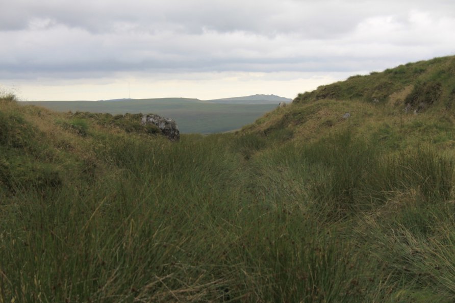
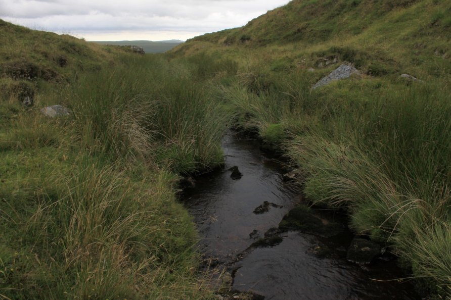
Rattle Brook, Lydford, Dartmoor National Park
Rattle Brook rises by the Rattlebrook Peatworks (Disused) on remote moorland in the western section of Dartmoor National Park. It flows past Bleak House with Green Tor to the east and Higher and Lower Dunna Goat Tors to the west. Beyond Rattlebrook Mine (Disused), it runs between Amicombe Hill and Rattlebrook Hill to join the River Tavy at the mouth of the remarkably beautiful Tavy Cleave.
Walkers tend to stay west of Rattle Brook with the series of stunning tors stretching from Great Links Tor to Hare Tor to Tavy Cleave Tors and Ger Tor. The moor east of Rattle Brook is boggy and tussocky. That said, there are plenty of crossing places from the disused railway to Bleak House to the fords by the ancient Dartmoor Path and Lane End Track marked on the Harvey British Mountain Map 'Dartmoor' map.
We've positioned Rattle Brook on Google maps so zoom in to see its location. The crossing points and fords are very noticeable on Google's satellite imagery. Clearly, water levels depend upon rainfall.
Photo Gallery