Shovel Down Settlements and Field System, Chagford, Dartmoor National Park
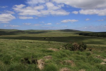
The high moor above Chagford is packed with prehistoric attractions from stone circles to standing stones, stone rows to ancient settlements. There's a particularly impressive cluster of attractions on Shovel Down by the northern section of Chagford Common near Batworthy Corner.
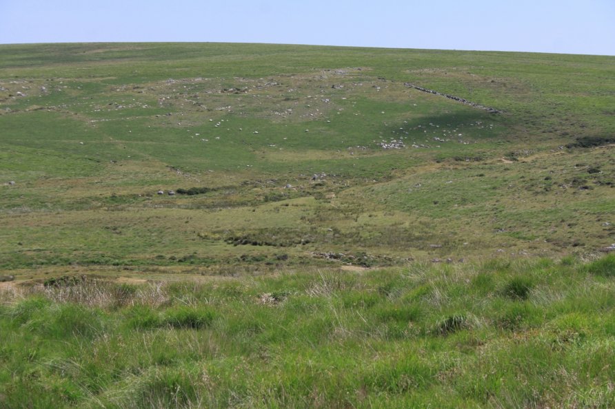
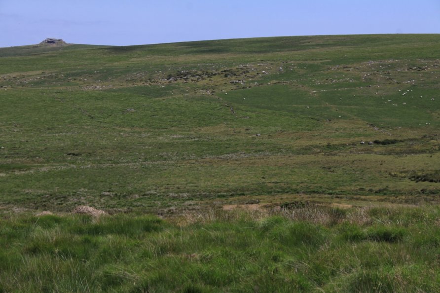
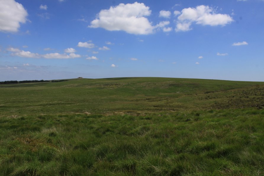
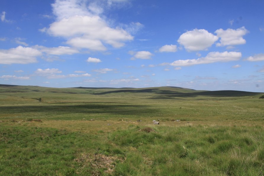
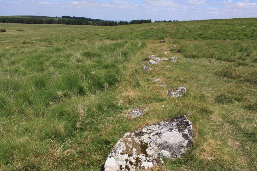
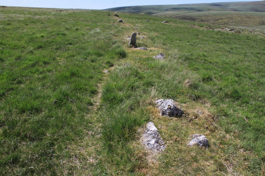
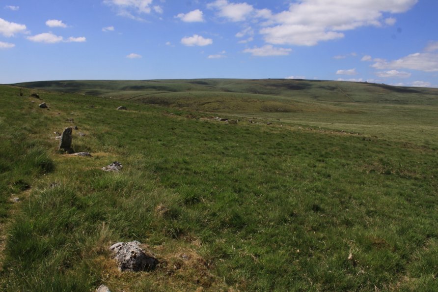
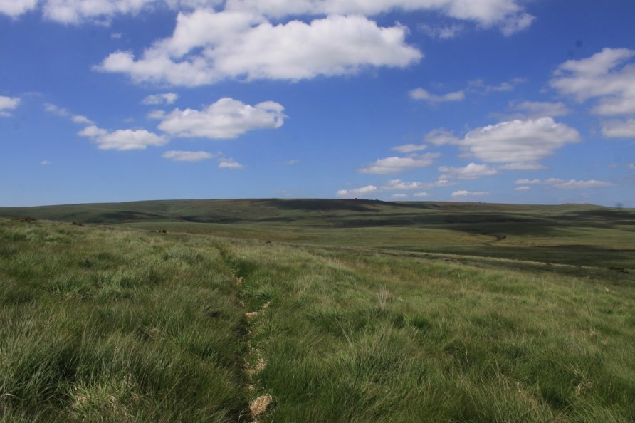
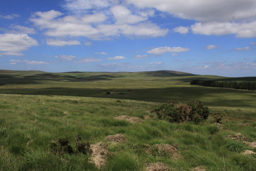
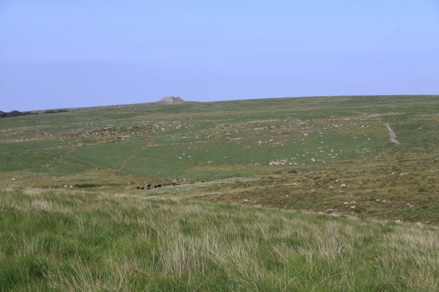
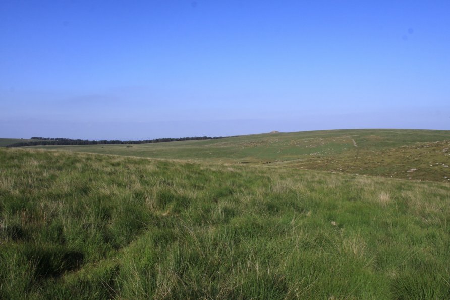
The Long Stone Standing Stone and numerous stone rows are well known. Nearby Scorhill Circle attracts high numbers of visitors. Obscured by moorland grass and rough terrain are the remains of the Shovel Down Settlements and Field System that runs for about a kilometre across the landscape. Even if prehistory isn't your thing, walking the moor here is recommended for the views north west and west to Dartmoor's high plateau.
We've positioned Shovel Down Settlements and Field System on Google maps so zoom in on the 'Satellite' setting to see its location. The site is clearly marked on the Ordnance Survey Explorer OL28 'Dartmoor' map.
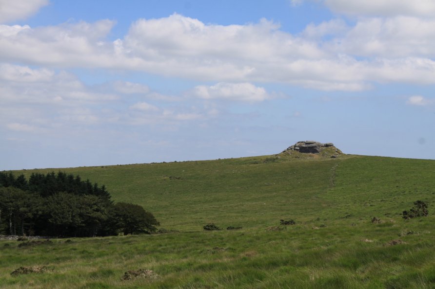
To visit, follow the moorland road that climbs from Chagford to Teigncombe. Pass the wonderful Round Pound and park at Batworthy Corner. You'll see Kestor Rock to the east. From Batworthy Corner, walk up to the stone rows. You are on the edge of Shovel Down Settlements and Field System. Tracks run through the site.
Photo Gallery