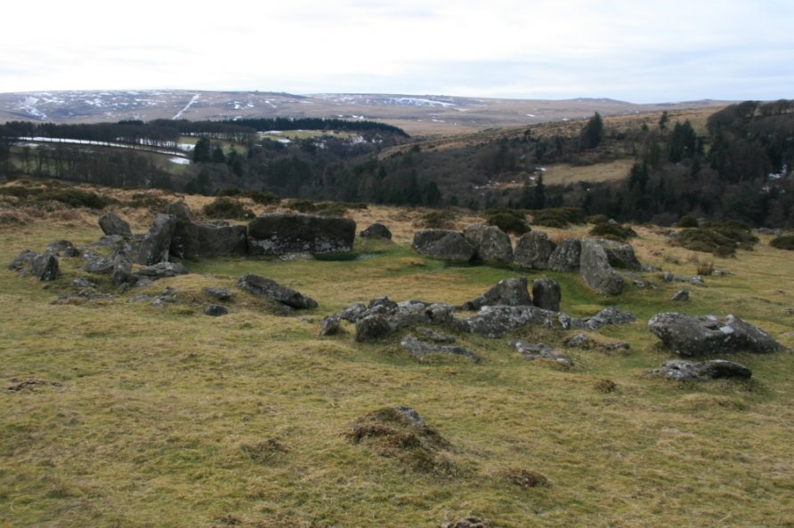
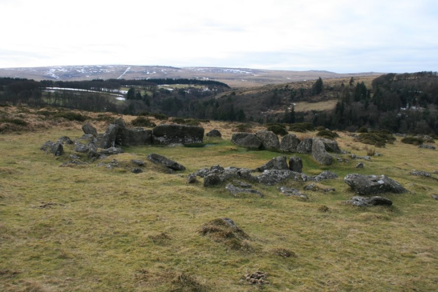
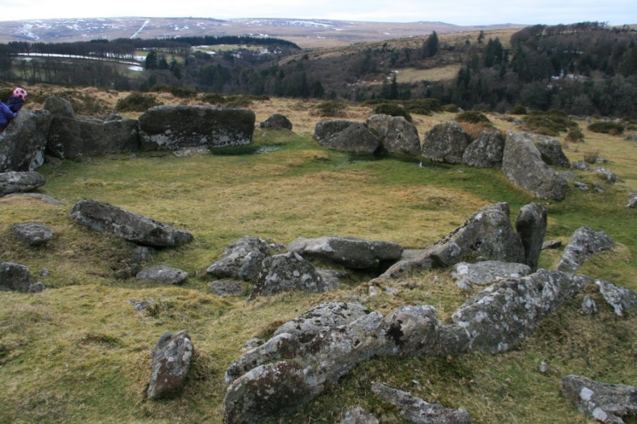
Kestor Settlements and Field System, Chagford, Dartmoor National Park
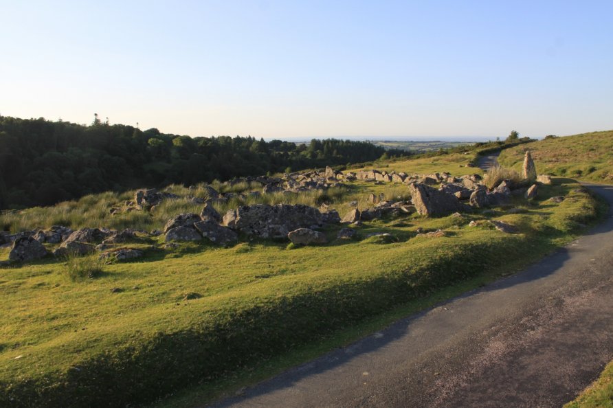
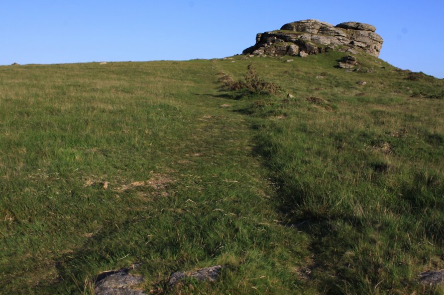
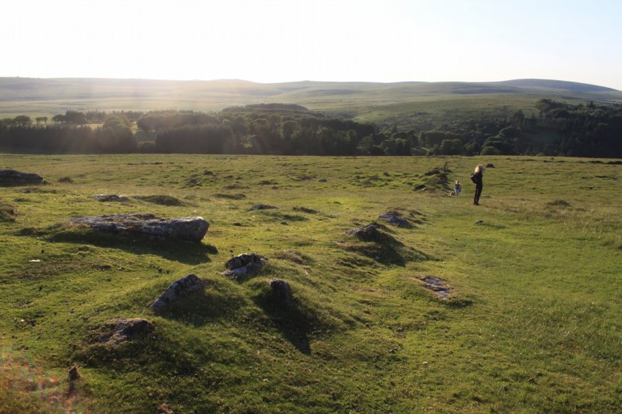
Spend time walking in the northern section of Chagford Common and you'll see plenty of people heading up to Kestor Rock or wandering across to see the Shovel Down Stone Rows. Others strike out across the common on their way to high north plateau around Wild Tor and Watern Tor. Few explore the settlements and field systems across the road from Round Pound. These are not marked on the Ordnance Survey Explorer OL28 'Dartmoor' map but there are plenty of hut circles and reaves, or field boundaries, to discover.
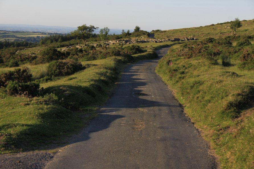
We've positioned Kestor Settlements and Field System on Google maps so zoom in on the 'Satellite' setting to see their location. To visit, head up to Batworthy Corner from Chagford.
Nearby, also visit the Shovel Down Settlements and Field System.
Photo Gallery