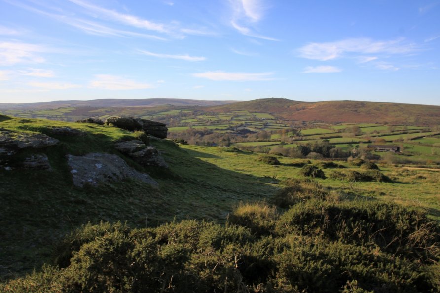
Wind Tor, Widecombe in the Moor, Dartmoor National Park

A section of the Two Moors Way runs along the spine of Hamel Down and then descends to Dunstone Down and Bittleford Down before moorland meets a mosaic of small fields. At the southern end of this moorland, where Dunstone Down merges into Bittleford Down, is Wind Tor. It's one of Dartmoor's flat outcrops and offers good views across the National Park's central bowl towards the south plateau. In our opinion, however, the best view is to Widecombe-in-the-Moor. It's an unusual angle of church and village.
We've positioned Wind Tor on Google maps so zoom in on the 'Satellite' setting to see its location. Widecombe-in-the-Moor is roughly a mile to the north east. The abandoned medieval settlement Hutholes is a short walk to the west.
To visit, we'd recommend walking the eastern section of the Two Moors Way from Widecombe-in-the-Moor to Dunstone Down. The Way follows the road that runs between Widecombe-in-the-Moor and Jordan. As you leave Widecombe-in-the-Moor, there are great views back to the village, its church and Chinkwell Tor/Bell Tor beyond. You take the road as it turns right and rises steeply to the moorland of Dunstone Down. There, a wide grass track trends south to Wind Tor. Consult the Ordnance Survey Explorer OL28 'Dartmoor' map for detail. The eastern section of the Two Moors Way you need to follow is clearly marked on the map.
Note that there's a car parking area at Dunstone Down just off the road running between Widecombe-in-the-Moor and Jordan. It's a very short walk from there. Zoom in on Google's satellite imagery to see this.
Whilst you are at Wind Tor, wander across to Hutholes. It's a fascinating place. An information board tells its story.
Photo Gallery