Plym Steps, Sheepstor, Dartmoor National Park

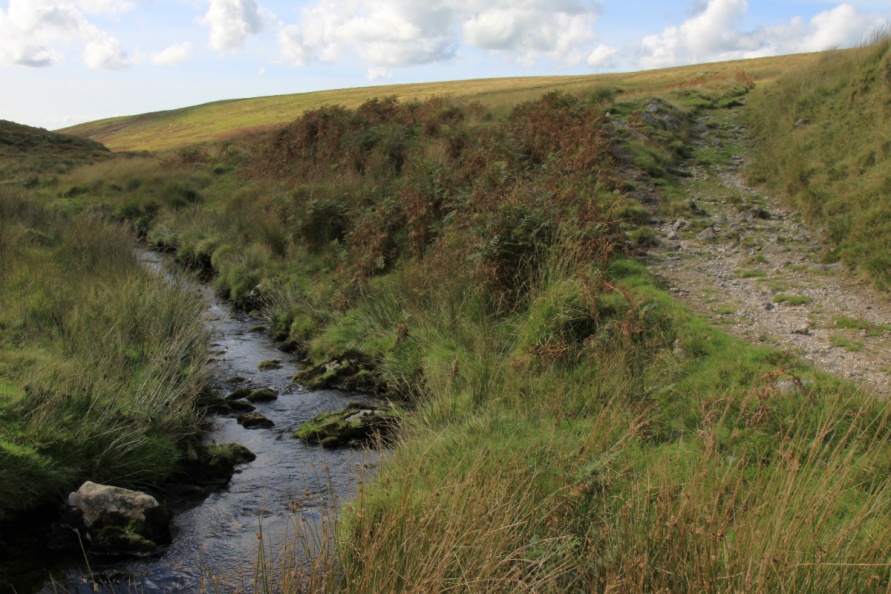
'Steps' on Dartmoor usually refer to stepping stones. Stepping stones are often necessary to cross the National Park's many rivers. However, stones are often moved by the power of the water when rivers are in spate. When this happens, the stones can either be repositioned or the set of stepping stones abandoned. Plym Steps is an example of the latter where the stepping stones exist in name only. Clearly, if stepping stones were once necessary then it suggests that the river can be difficult to cross in this area when the water levels are high. We've turned back from Plym Steps on many occasions owing to the depth and power of the water. Even after a period of dry weather, you have to wade across the ford here to get to/from the high south moor.
We've positioned Plym Steps on Google maps so zoom in on the 'Satellite' setting to see its location.
Plym Steps is on an ancient travel route that connects with what's marked the Abbot's Way on the Ordnance Survey Explorer OL28 'Dartmoor' map.
If river levels are high, we'd suggest you head up to Plym Ford and cross there.
There are two wider fords downstream as well. The first is Shavercombe Brook Ford. This ford is marked on the Ordnance Survey Explorer OL28 'Dartmoor' map between Drizzle Combe and Shavercombe Brook. It's wide and potentially deep. The second is Ditsworthy Warren House Ford. Similar to Shavercombe Brook Ford, the ford here is wide and potentially deep.
Photo Gallery