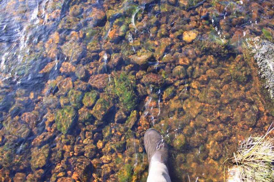
Swincombe Headweir Ford, Princetown, Dartmoor National Park

The River Swincombe and Strane River (having been fed by Nun's Cross Brook) meet at the eastern end of Foxtor Mires near the beginning of the old Wheal Emma Leat (Dry Channel). Just before they meet, there are two fords spanning each waterway.
After a spell of dry weather, the ford across the Swincombe is shallow but the ford crossing Strane River is deep. After wet weather, when the water levels are high, they are impassable.
We explored the Swincombe Headweir Ford area whilst following the North-South (Track) Ancient Travel Route as marked on the Harvey British Mountain Map 'Dartmoor' map.
We wouldn't recommend crossing here or using the path to the west that runs through Foxtor Mires as marked on the Ordnance Survey Explorer OL28 'Dartmoor' map and the Harvey British Mountain Map 'Dartmoor' map. Both cross difficult, waterbelly moorland that can be dangerous. Instead, cross the River Swincombe to the east at Swincombe Fairy Bridge and follow the disused Wheal Emma Leat (Dry Channel) up to Swincombe Headweir Ford. From there, stick to the high, firm ground to get to Foxtor Farm and cross the River Swincombe south of the mires up by Childe's Tomb.
Alternatively, skirt the western side of Foxtor Mires by either walking to Nun's Cross Farm or following the Devonport Leat to the long farm wall that runs south of the mires. There are tracks on either side of the wall that take you to Fox Tor and Foxtor Farm.
Photo Gallery