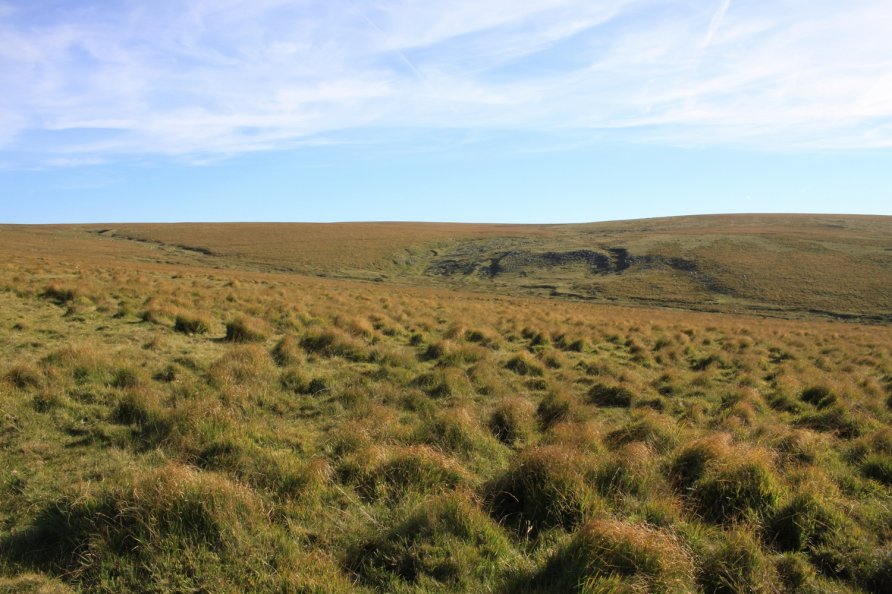
Sunshine Valley, Princetown, Dartmoor National Park

There are lots of old mining works around Foxtor Mires. Whiteworks is to the north west. The wonderfully named Sunshine Valley and nearby Mount Misery are to the south east and east. Marked on the Harvey British Mountain Map 'Dartmoor' map, Sunshine Valley is at the head of the River Swincombe on the edge of Dartmoor's south plateau.
It's a remote place so you're most likely to have it on your own if want to explore the area.
We've positioned Sunshine Valley on Google maps so zoom in on the 'Satellite' setting to see its location.
To visit, we'd recommend wandering in from one of the car parking areas on the Princetown to Whiteworks road. Head for Nun's Cross Farm and then follow the Devonport Leat east until you get to a farm wall. This wall runs east below Fox Tor to the foot of Sunshine Valley. Tracks run either side of the farm wall. You'll come to an area where the landscape has been very obviously shaped by the tin mining industry.
The views from the top of the valley across Dartmoor's central bowl to its north plateau are sensational.
Alternative routes include walking in on the ancient Buckfast to Tavistock Monastic Route and then detouring to Sunshine Valley or following Wheal Emma Leat (Dry Channel) from Hexworthy that runs above the River Swincombe to Swincombe Headweir Ford at the eastern end of Foxtor Mires. From there, head across to Foxtor Farm or Mount Misery and then to Sunshine Valley.
You can also wander in on the North-South (Track) Ancient Travel Route or across Crane Hill.
We wouldn't recommend crossing Foxtor Mires or walking above Avon/Aune Head Mires. Clearly, these routes are possible but they are difficult.
Photo Gallery