Raven's Tor (Lustleigh Cleave), Lustleigh, Dartmoor National Park

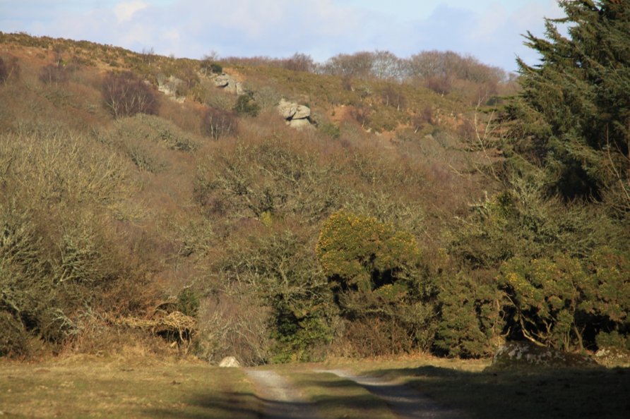
At the upper end of Lustleigh Cleave, where woodland thins into gorse and bracken, are various rocky outcrops. The largest is Raven's Tor. The tor is difficult to find but you sometimes see people bouldering on its rock faces.. We'd recommend walking to the general area for its beauty. Because you're at the upper end of Lustleigh Cleave, you get astonishing views down the Bovey Valley to Bovey Valley Woodlands and across a strip of South Devon to the Teign Estuary, English Riviera and the sea. West and north west is Dartmoor's high north plateau.
We've positioned Raven's Tor on Google maps so zoom in on the 'Satellite' setting to see its location. Given its location in Lustleigh Cleave with its warren of footpaths and tracks, you can walk in from all directions. Probably the easiest for a first visit is to start from Hammerslake and follow the path marked on the Ordnance Survey Explorer OL28 'Dartmoor' map to Sharpitor. You then walk north west past Harton Chest towards Hunter's Tor and Hunter's Tor Hillfort. You'll hit an area of open moorland covered with gorse, bracken, grassy areas and granite boulders. From here, you have to pick your way down to Raven's Tor. We've been up there on many occasions and it's always difficult to find. Whilst looking, however, make sure you enjoy the views.
Lustleigh Cleave is packed with interesting features. Whilst visiting, wander across to Hunter's Tor and Hunter's Tor Hillfort. On the way back, we'd recommend the views from Lookout Rock (1), Lookout Rock (2) and Harton Chest. Be *very* careful on these outcrops as they are exposed and there are some big drops. The best views, in our opinion, are late in the day when the sun arcs west and is behind you as you look down Bovey Valley to the sea.
Other routes to Raven's Tor include walking from Manaton to Horsham and then dropping down the steep path to Horsham Steps. The 'steps' is a boulder field spanning a bend in the river. You then follow a good path that rises diagonally through Lustleigh Cleave as shown on the Ordnance Survey Explorer OL28 'Dartmoor' map. A little way up the path, next to a signpost, a narrow path climbs steeply to Lookout Rock (1). Raven's Tor is nearby.
You might want to walk to Foxworthy from Manaton and loop around the spur of land on which Hunter's Tor sits before climbing to Hunter's Tor Hillfort and then Raven's Tor.
From Water, you can drop down to Clam Bridge and up to Sharpitor before heading north west to Raven's Tor.
It's also wonderful to walk from the lower end of the Bovey Valley at Heaven's Gate or Hisley Bridge. Further away, you can walk in from the National Trust's Parke. The latter is a three hour round yomp. It's a top walk.
Photo Gallery