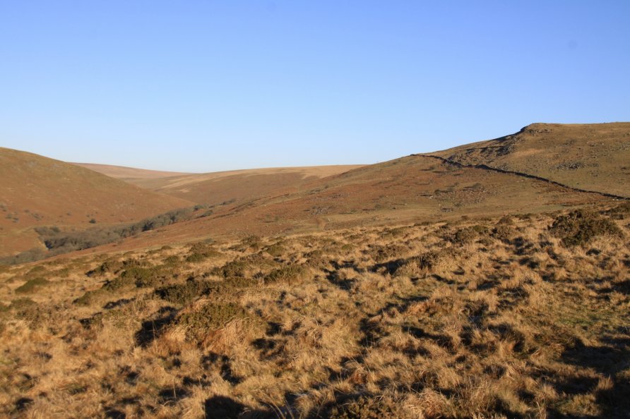
Harford Moor, Harford, Dartmoor National Park

Harford is a small village on the edge of Dartmoor's south moor. Harford Bridge spans the River Erme. The moorland east of the River Erme is called Harford Moor and is marked on the Ordnance Survey Explorer OL28 'Dartmoor' map by Piles Copse.
We've positioned Harford Moor on Google maps so zoom in on the 'Satellite' setting to see its location.
You can access Harford Moor from the car parking area at Harford Moor Gate. Piles Copse and the views from Sharp Tor are highlights. Harford Moor borders Ugborough Moor on which you'll find Three Barrows which is the highest point in this southerly section of the National Park (there are many higher points of Dartmoor's south moor. Ryder's Hill is the highest). Across the River Erme from Harford Moor is Stall Moor on which is located the longest stone row in the world.
Photo Gallery