Week Down, Chagford, Dartmoor National Park

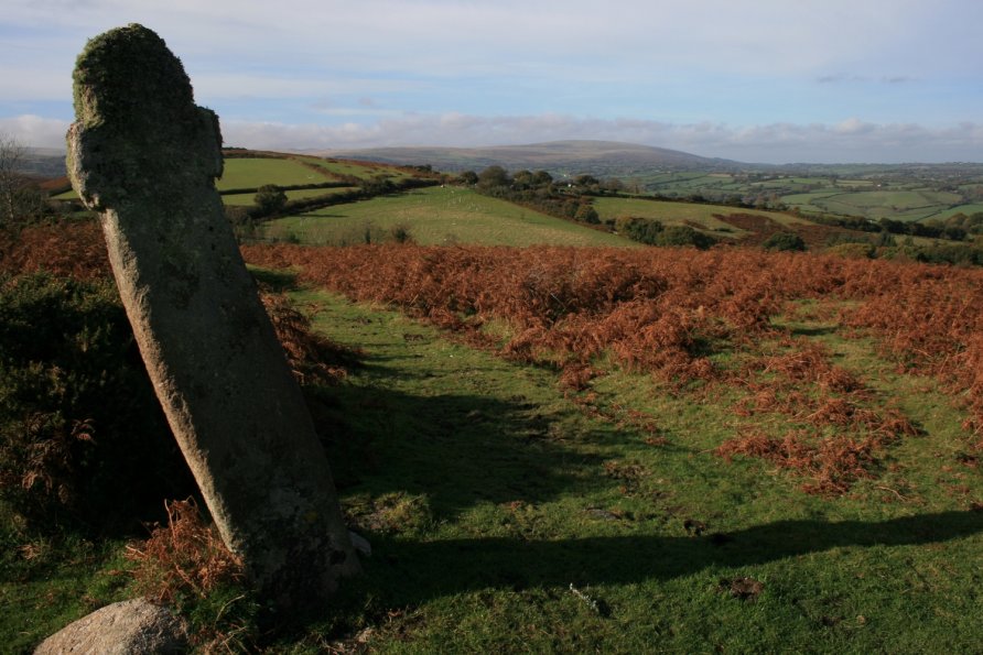
Two hills rise above the popular Dartmoor gateway town Chagford. At 390 metres above sea level, Meldon Hill is the bigger. Nattadon Hill, whilst smaller, is topped with a fort. East of these hills is Week Down. The views from Week Down are superb. It's also where you'll see Week Down Cross.
We've positioned Week Down on Google maps so zoom in on the 'Satellite' setting to see its location.
There's a pleasant, short walk from Week Down which is particularly impressive in Autumn. Start from Week Down Cross. Head for the east corner of Week Down. A path drops down the side of a field to a road which descends to the pretty hamlet Yellam. The path continues along a tall deer fence until you hit an old sunken lane lined with beautiful trees. The lane climbs back up to Week Down. The circular walk is clearly marked on the Ordnance Survey Explorer OL28 'Dartmoor' map.
Photo Gallery