Queenie Meads, Belstone, Dartmoor National Park

Where possible, we use place names marked on the Ordnance Survey Explorer OL28 'Dartmoor' map or the Harvey British Mountain Map 'Dartmoor' map. These are widely used by visitors to the National Park and are perfect communal reference points. Sometimes, however, it's necessary to use local place names to describe places on Dartmoor that are much visited but off the beaten track. Queenie Meads is one such place.
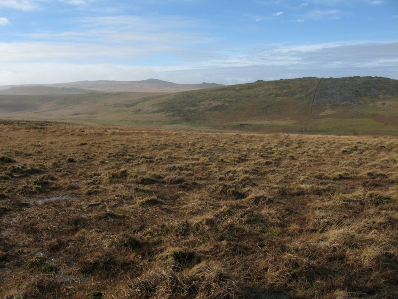
Cosdon Hill is the unmistakable domed hill close to the northern border of Dartmoor National Park. The high ground around Cosdon Beacon at the top of the hill falls away relatively steeply to a number of plateaus. To the south east, the moorland flattens out at the exceptionally dangerous Raybarrow Pool. To the west is a huge plateau called Queenie Meads. You only really notice how big the area is when you walk across or along it. We've positioned Queenie Meads on Google maps so zoom in on the 'Satellite' setting to see its location.
Most people experience Queenie Meads as part of a walk around the western flank of Cosdon Hill. If you look at the Ordnance Survey Explorer OL28 'Dartmoor' map, you'll see a path that runs along the plateau. The map makes the area look simple to navigate. In reality, there are a huge number of paths, animal tracks and vehicle tracks running over the plateau. The area is also difficult to navigate owing to the remains of mining activity, the channels of Lady Brook and a disused leat. It's not particularly difficult to walk across or along Queenie Meads but it can be confusing if you are expecting a single, well defined path.
To visit, start from the car parking areas at South Zeal or Belstone. From South Zeal, follow the signposts to Cosdon and then follow the path marked on the OS map to Queenie Meads. From Belstone, walk through the village to Belstone Great Green. From there, drop down to the wooden bridge at the west end of Belstone Cleave. Follow the track up to the north flank of Cosdon Hill. There, you connect with the path marked on the OS map. Ford Lady Brook and head out to Queenie Meads. Other routes include arcing up to the plateau from the concrete ford at Taw Marsh or following the path down from Little Hound Tor. We've also walked in via Ladybrook Tor.
The views from Queenie Meads down to Taw Plain and across Dartmoor's high north plateau are exceptional. We've been up there in isolation. On other days, scores of children practising for the Ten Tors events have passed us by.
Photo Gallery